
What Will You See on a Skydive Over Auckland?
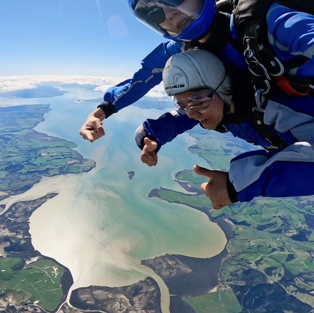
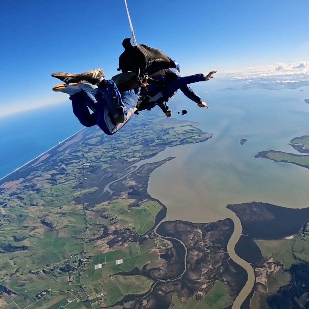
A skydive with Skydive Auckland gives you panoramic views of New Zealand’s dual coastlines, nearby gulf islands, and distant volcanic peaks, all from heights of up to 18,000ft. Here’s exactly what you’ll see, from takeoff to landing.
What You Can See
Both Coastlines: Simultaneous views of the Pacific Ocean on the east coast and the Tasman Sea on the west, a genuinely rare sightline in New Zealand skydiving.
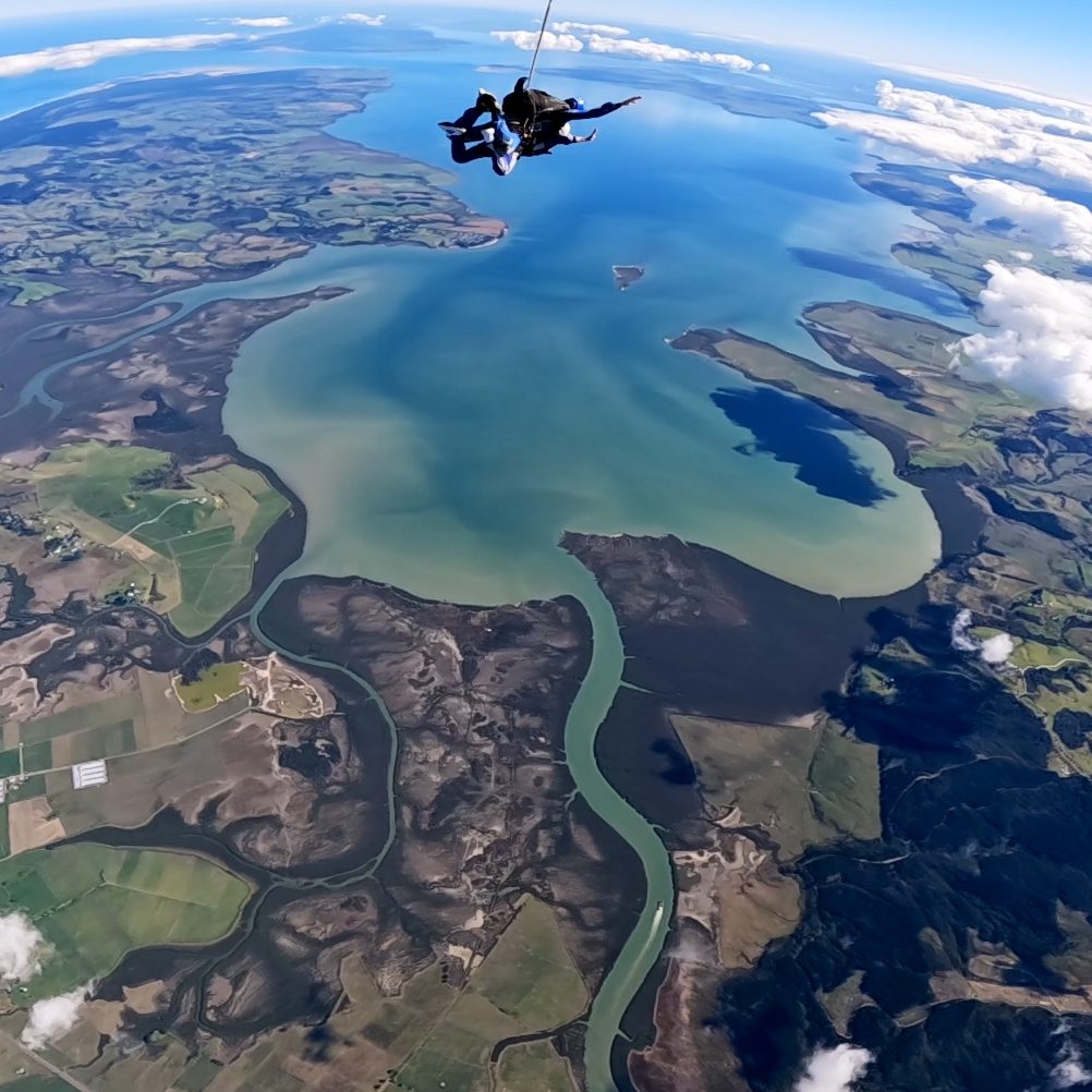
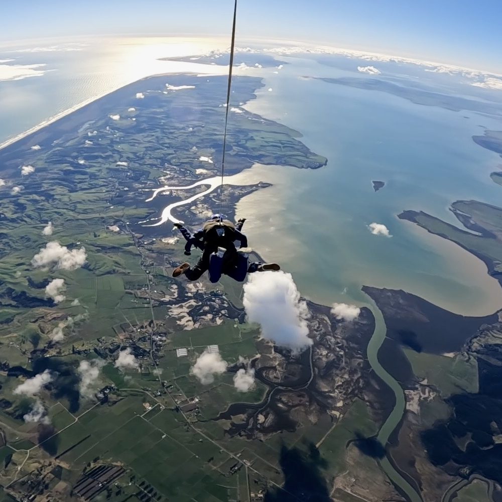
Beaches and Islands: The dark sands of Piha Beach, one of Auckland’s most iconic and photographed coastlines, along with Waiheke Island, a favourite for its vineyards and beaches, and Great Barrier Island further out in the Hauraki Gulf. Right beneath Parakai itself lies the Kaipara Harbour, New Zealand’s largest harbour.
Volcanic Peaks: In clear conditions, distant sights include Mt Ruapehu, the North Island’s largest active volcano, and Mt Taranaki, both visible far to the south.
During the Scenic Flight
Before you jump, you’ll spend around 20 to 25 minutes climbing to altitude aboard our 17-seat plane, and this flight is a big part of the experience in its own right. Departing from Parakai, you’ll fly out over Auckland’s rugged west coast, with the Kaipara Harbour opening up beneath you. Its wetlands, sandbanks, and winding waterways look completely different from the air than they do from the shore.
From Freefall to Parachute Ride
Once you exit the plane, everything above comes into view at once, both coastlines, the black sand beaches of the west coast, the islands of the Hauraki Gulf, and in clear conditions, the volcanic peaks marking the edge of the North Island. Your parachute ride down gives you several more minutes to take it all in from a different angle as you descend back over the Kaipara Harbour.
Does the Altitude You Choose Change the View?
Yes, to a degree. All three altitude options (13,000ft, 16,000ft, and 18,000ft) pass over the same landscape, but the higher your jump, the higher the scenic flight climbs before you exit, meaning more of the region is visible before you jump, and a longer freefall to take it all in on the way down. The 18,000ft jump gives you the most complete version of this view, since you’re higher for longer.
When Are the Views Best?
Clear, still days offer the best visibility for spotting the more distant landmarks like Mt Taranaki and Great Barrier Island. Summer (December to February) tends to bring the most consistent weather for this, though Auckland’s coastline and harbour are genuinely striking in any season.
Cloud cover can occasionally reduce ground visibility, but flying above the clouds is a beautiful experience in its own right, an entirely different kind of view, with an unbroken white landscape stretching beneath you. Since skydiving is weather-dependent either way, check our skydive status page before your booking to confirm conditions.
FAQ
Both Coastlines: Simultaneous views of the Pacific Ocean on the east coast and the Tasman Sea on the west, a genuinely rare sightline in New Zealand skydiving.
Beaches and Islands: The dark sands of Piha Beach, one of Auckland's most iconic and photographed coastlines, along with Waiheke Island, a favourite for its vineyards and beaches, and Great Barrier Island further out in the Hauraki Gulf. Right beneath Parakai itself lies the Kaipara Harbour, New Zealand's largest harbour.
Volcanic Peaks: In clear conditions, distant sights include Mt Ruapehu, the North Island's largest active volcano, and Mt Taranaki, both visible far to the south.
Yes. Parakai's location means you can see both the Pacific Ocean and Tasman Sea coastlines from the same jump, a rare sightline among New Zealand's skydiving locations.
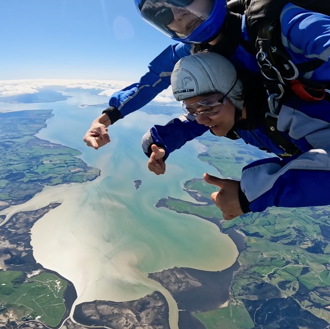
The Kaipara Harbour is New Zealand's largest harbour, located on Auckland's west coast. It's one of the standout views on a Skydive Auckland scenic flight and freefall.
Cloud cover can reduce how much of the ground you can see, but flying above the clouds offers its own striking view. If conditions aren't suitable for skydiving at all, we'll help you reschedule, check our skydive status page before your booking to confirm.
The Kaipara Harbour and Auckland's west coast, as your plane climbs to altitude over roughly 20 to 25 minutes.
Yes, higher altitudes mean more of the region is visible before you jump, and more time to take it in during freefall. The 18,000ft option gives you the fullest view.
Clear, still days, especially over summer (December to February), give you the best chance of spotting distant landmarks like Mt Taranaki and Great Barrier Island.